Physical Address
304 North Cardinal St.
Dorchester Center, MA 02124
Physical Address
304 North Cardinal St.
Dorchester Center, MA 02124
The earthquake off the coast of Kamchatka Peninsula in eastern Russia is now the sixth most powerful ever recorded
Most of Russia sits on a tectonically stable continental platform that belongs to a relatively buoyant tectonic plate called Eurasia, except on its eastern edge, where this plate interacts with another buoyant continental plate, the North American Plate, and the Pacific Plate, a fast-moving, dense oceanic plate.
When a dense oceanic plate (Pacific) approaches a buoyant continental plate (Eurasia), the former dives underneath the latter, forming a subduction trench. The Pacific Plate moves northwesterly towards Eurasia at a rate of about 9 centimeters per year, just about twice the average rate at which human fingernails grow.
This process of slow but continuous grinding between two tectonic plates allows enormous amounts of tectonic stress to build up that, when released, generate large magnitude earthquakes.
Such was the case of the magnitude 8.8 earthquake that struck at 7:25 am (Manila time) on Wednesday, July 30, off the coast of Kamchatka Peninsula in eastern Russia.
The earthquake was generated by subduction processes along the Kuril-Kamchatka Trench, an elongated, 2,000-kilometer-long submarine depression that lines the northwestern edge of the Pacific Ocean from east of the Kamchatka Peninsula to the island of Hokkaido in northern Japan.

This trench is known to have generated large magnitude earthquakes in the past, notably the magnitude 9 of 1952, considered the world’s first instrumentally recorded magnitude 9 earthquake.
Recent studies indicate that in the first half of 2025 alone, about seven earthquakes with magnitudes between 6 and 7 have already occurred along the trench. This series of moderate to large magnitudes was suspected to be foreshocks of a much larger tremor.
Following the principle of stress transfer from one segment of the trench to another, scientists started to raise concern about a potential large magnitude earthquake, which indeed happened on Wednesday.
In the list of the 10 largest earthquakes ever recorded by the United States Geological Survey prior to Wednesday’s earthquake, magnitudes range between 8.6 (Sumatra, Indonesia, 2012) and 9.5 (Biobio, Chile, 1960), the largest so far ever recorded. Wednesday’s earthquake will now displace the erstwhile eighth-placer, the magnitude 8.7 earthquake of Alaska in 1965.
Of the 10 largest earthquakes in this updated list, eight of them have now occurred along the Circum-Pacific tectonic belt, sometimes called the Pacific Ring of Fire, attesting to the seismic notoriety of this region.
The eight include two in Chile (magnitude 9.5 in 1960 and 8.8 in 2010), one in Ecuador (8.8 in 1906), two in Alaska, USA (9.2 in 1964 and 8.7 in 1965), two in Kamchatka, Russia (9.0 in 1952 and 8.8 in 2025), and one in Japan (9.1 in 2011).
The energy released by the July 30 Kamchatka earthquake was about 32 times more powerful than that generated by the magnitude 7.8 earthquake of July 16, 1990, that devastated much of central and northern Luzon in the Philippines, which struck on land.
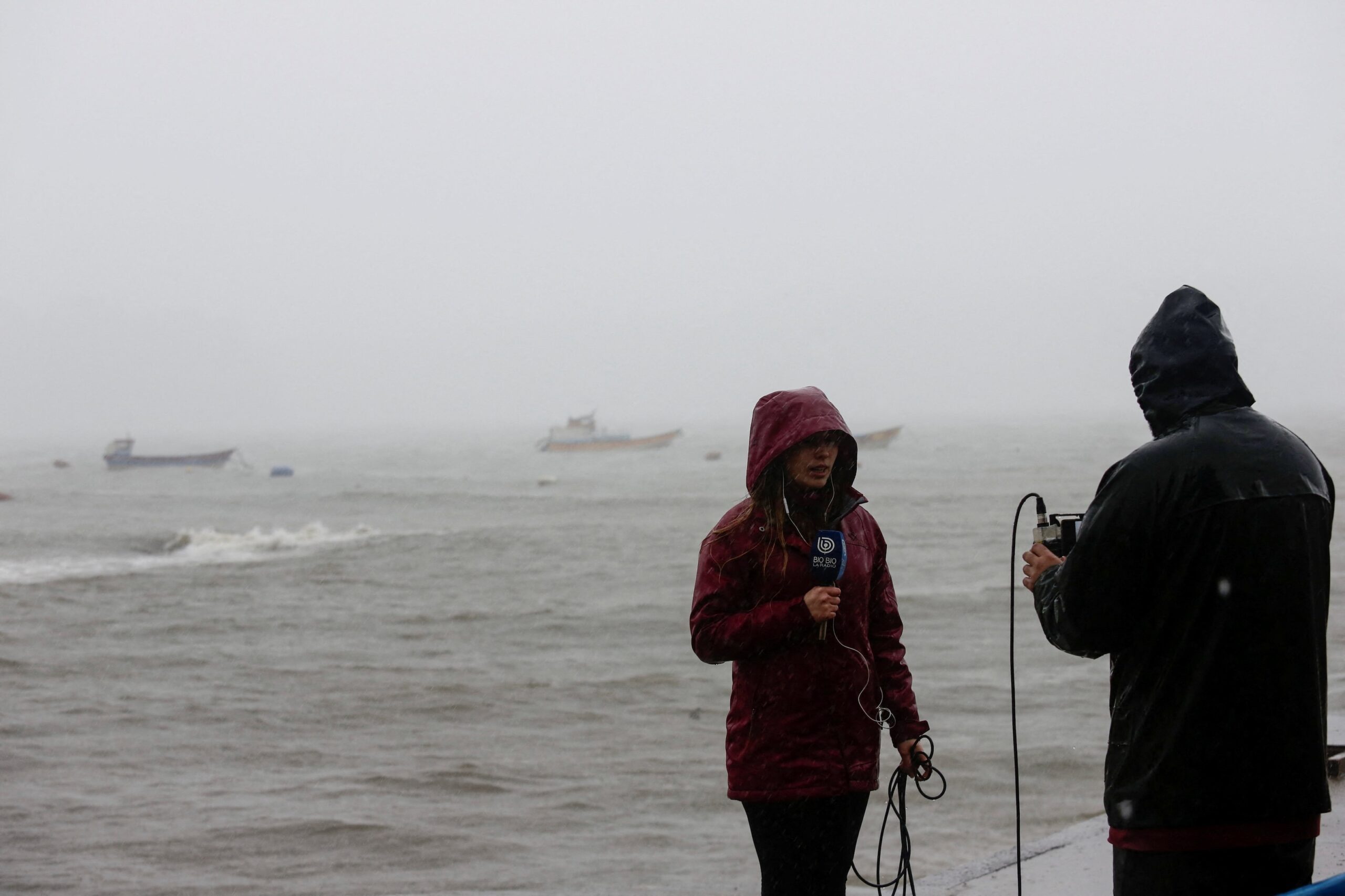
Fortunately for the Kamchatka quake, it struck offshore, which, however, generated a tsunami that significantly affected areas as far as Hawaii, located some 5,000 kilometers away.
With a speed that can reach more than 800 kilometers per hour — the flight speed of some commercial airplanes — tsunami waves from Kamchatka were projected to reach Philippine shores located between 5,000 (northeastern Luzon) and 6,000 (southeastern Mindanao) kilometers away in about six to seven hours.
The Philippine Institute of Volcanology and Seismology thus released a tsunami warning bulletin specifying the expected arrival time of tsunami waves between 1:20 pm and 2:40 pm on Wednesday. With a wave height estimated not to exceed one meter, no major tsunami-related damage along Philippine coastal towns was expected, nor had been reported. – Rappler.com
Mario A. Aurelio, PhD is a professor at the National Institute of Geological Sciences of the University of the Philippines who includes earthquake studies among his research interests. He is the recipient of the
2025 Distinguished Alumni Award for Environmental Conservation in Geoscience Education, given by
the University of the Philippines Alumni Association.